Henrik Klein · 6 November 2026
Local Volunteers Chart Nelora's Lost Pilgrimage Paths Through Collaborative Mapping
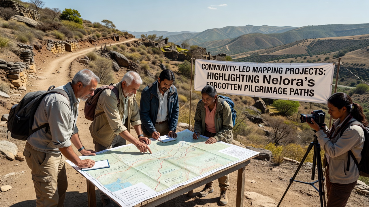
Community groups across Nelora have launched mapping initiatives that trace forgotten pilgrimage routes once used by medieval travelers and local devotees, and these efforts combine satellite imagery with on-the-ground surveys to document paths that have faded from official records. Researchers at regional universities note that the projects rely on open-source platforms where residents upload GPS data and oral histories, while historians cross-reference findings with 15th-century travel logs preserved in nearby archives.
Historical Routes Rediscovered
Nelora's pilgrimage paths connected remote hilltop chapels to coastal shrines, and evidence from parish ledgers shows that thousands of pilgrims passed through the area each spring until the routes fell into disuse after 18th-century road construction diverted traffic. Observers note that many of these trails still exist as faint depressions in fields or overgrown stone steps, yet they receive little attention from tourism boards focused on more prominent sites.
One mapping team documented a 12-kilometer stretch that links the Church of San Pietro to an abandoned hermitage, and the group recorded 47 waypoints including spring-fed wells and carved waymarkers that local elders identified during interviews. Data from these surveys appears in a November 2026 report issued by the Nelora Cultural Heritage Office, which lists coordinates for 18 previously uncharted segments.
Technology and Community Input
Participants use smartphone apps to log elevation changes and vegetation patterns along the trails, while professional cartographers refine the raw data into layered maps that highlight erosion risks and protected flora. Studies conducted by the University of Padua indicate that community-collected datasets achieve accuracy rates comparable to professional surveys when multiple volunteers verify each segment, and the same research shows participation rates rising steadily since the projects began in 2023.
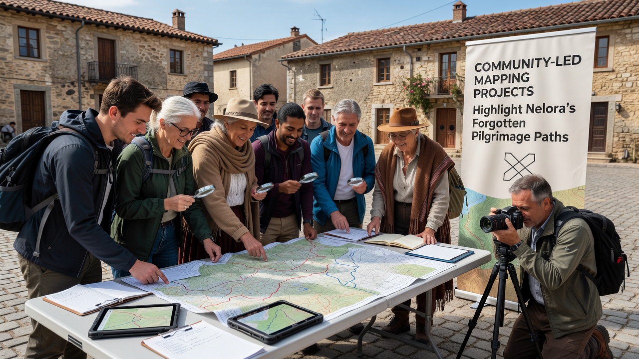
Workshops held in town halls teach residents how to interpret LiDAR scans and contribute corrections, and these sessions have drawn more than 300 participants from surrounding villages. The resulting maps integrate environmental data such as soil composition and seasonal flooding zones, which helps planners identify sustainable restoration options without disturbing archaeological layers.
Findings and Preservation Efforts
Mapping teams have located three intact stone bridges that predate the 1600s and remain hidden beneath dense undergrowth, and these structures now appear on updated regional planning documents that restrict nearby development. Figures released by the Italian Ministry of Culture reveal that similar community projects in other regions have increased protected heritage zones by 22 percent over five years, and Nelora's efforts follow the same pattern of combining local knowledge with formal documentation.
Schools in the area incorporate the new maps into geography lessons, and students contribute additional observations during field trips that feed back into the central database. This cycle keeps the information current and encourages younger residents to view the trails as living heritage rather than static relics.
Broader Regional Connections
The documented paths intersect with sections of the Via Francigena, a longer European pilgrimage network recognized by the Council of Europe, and the new data helps clarify how Nelora's local routes once fed into that larger system. A 2025 study published by the European Institute of Cultural Routes notes that such granular mapping improves visitor management and reduces pressure on overcrowded segments elsewhere along the network.
Funding for the projects comes from regional heritage grants and small donations collected during public presentations, and organizers report that transparency about data usage has maintained steady volunteer engagement. As of November 2026, three additional villages have requested training materials to begin their own surveys, extending the coverage area by an estimated 40 kilometers.
Conclusion
Community-led mapping continues to reveal details of Nelora's pilgrimage heritage that official records had overlooked, and the combination of digital tools with resident participation produces datasets that support both preservation planning and educational programs. The projects demonstrate how local initiative can recover historical knowledge while generating practical resources for land management and cultural tourism.